25 SAIL A WAY
Owner Information
HOYDA EDITH J
25 SAIL-A-WAY
CHATHAM, MA 02633


Property Details
25 SAIL A WAY is classified as a Single Family Residential (Cape).
The primary structure on this property was built in 1988. There are 2,464ft2 of built area within this property. There is 2,464ft2 of residential/living space within this property.
25 SAIL A WAY is valued at $739,900. The land is valued at $384,400 and the structures are valued at $355,500.
This property is in Zone R40. Confirm with local Zoning Board authorities to ensure there are no overlays or other easements on this property.
The most recent deed for 25 SAIL A WAY is recorded at the local registrar in Book 6550, Page 246. 25 SAIL A WAY was last sold on Monday, December 12, 1988 for $325,000.
Assessment data from fiscal year 2018.
Flood Data
According to the FEMA National Flood Hazard Layer, this property does not appear to be in a flood zone. It may also be in an area not yet reviewed. Nonetheless, confirm this information prior to taking any action.
To view the flood hazards around this property, create a FEMA "Firmette" Map of the area around 25 SAIL A WAY.
Broadband Internet Providers
| Provider | Type | Bandwidth (mbps) | |
|---|---|---|---|
| VSAT Systems, LLC. | Satellite | 2 | 1 |
| Viasat Inc | Satellite | 35 | 3 |
| Verizon New England Inc. | DSL | 15 | 1 |
| Comcast | Cable | 1000 | 35 |
| GCI Communication Corp. | Satellite | 0 | 0 |
| HughesNet | Satellite | 25 | 3 |
Broadband service provider data from December 2020.
Adjacent Properties
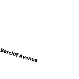
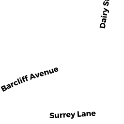
- 84 BARCLIFF AVE
Single Family Residential owned by ROBERT MICHAEL LLC - 62 BARCLIFF AVE
Single Family Residential owned by MACKENZIE HEATHER & CAMERON TRUSTEES - 25 COURTNELL RD
Single Family Residential owned by MASKO JOHN J III & GABRIELLA T/E - 20 SAIL A WAY
Single Family Residential owned by STRUCKMEIER ARMIN - 378 OLD HARBOR RD
Single Family Residential owned by SCHWARTZ LEONARD & PATRICIA C - 30 COURTNELL RD
Single Family Residential owned by HUPP REBECCA